Boundary Surveys
Field measurement and record research to locate and document the true legal limits of a parcel, including monuments found or set, fences, walls and encroachments.
Fences · disputes · additions
NYS Licensed Land Surveyor
Lenze Land Surveying is a New York State licensed surveying practice based in Massapequa, producing signed and sealed surveys for homeowners, builders, architects, attorneys and lenders across Long Island.
Every map carries the seal of a New York State licensed professional land surveyor.
The surveyor who answers the phone is the surveyor who does the fieldwork.
Deliverables formatted for lenders, title companies and municipal building departments.
Deep familiarity with Nassau and Suffolk filed maps, tax maps and deed research.
Services
Whether you are buying, refinancing, building an addition, fencing a yard or filing for a variance, there is a specific survey the reviewer will ask for. Here is what each one does.
Field measurement and record research to locate and document the true legal limits of a parcel, including monuments found or set, fences, walls and encroachments.
Fences · disputes · additions
The survey a lender, title company or closing attorney requires — building locations, setbacks, easements and improvements shown on a certified map.
Purchases · refinancing · closings
Elevations, contours, spot grades, trees and existing site features mapped for architects and engineers designing grading or new construction.
Design · grading plans
Measured floor and grade elevations on the official FEMA form used to rate or appeal flood insurance premiums — routine work on the South Shore.
Flood insurance · LOMA requests
Physical stakes, nails or flagging set on your corners and lines in the field, so a contractor knows exactly where the boundary runs before work starts.
Fencing · landscaping · pools
Foundation and building layout, line-and-grade control during construction, and as-built or final surveys for certificates of occupancy.
Builders · foundations · C of O
Survey base mapping and plans prepared for building department, planning board and zoning board of appeals submissions, including proposed lot divisions.
Variances · permits · land division
Metes-and-bounds descriptions written for deeds and easements, plus record and filed-map research when a chain of title needs untangling.
Attorneys · easements · transfers
The sample maps above are shown for illustration only. Names, addresses, tax map identifiers and filed-map references have been blurred to protect the privacy of past clients, and the surveyor’s seal and signature have been removed. Your survey is delivered signed and sealed.
Why Lenze
A survey map ends up in a closing file, a permit application or, occasionally, a courtroom. That is why every job here follows the same discipline — records first, field measurement second, and a licensed review before anything is sealed.
How it works
Most residential surveys follow the same path. You will know the scope, the fee and the expected turnaround before any work begins.
STEP 01
Tell us the property address and what the survey is for. You get a written fee and a realistic schedule — no hourly surprises.
STEP 02
Deeds, filed maps, tax maps and any prior surveys are pulled and reviewed before fieldwork is scheduled.
STEP 03
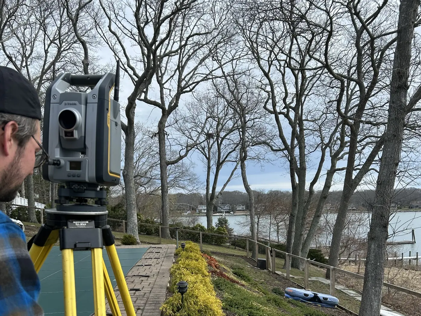
Monuments, improvements and grades are measured on site. Most residential lots take a single visit of a few hours.
STEP 04
Data is reduced, drafted and reviewed, then issued signed and sealed as a PDF with prints on request.
From the field
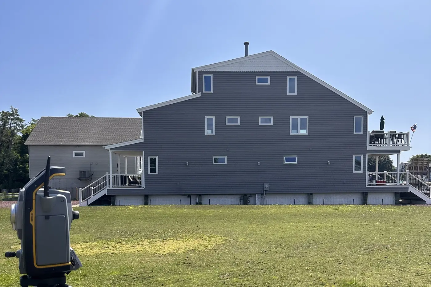
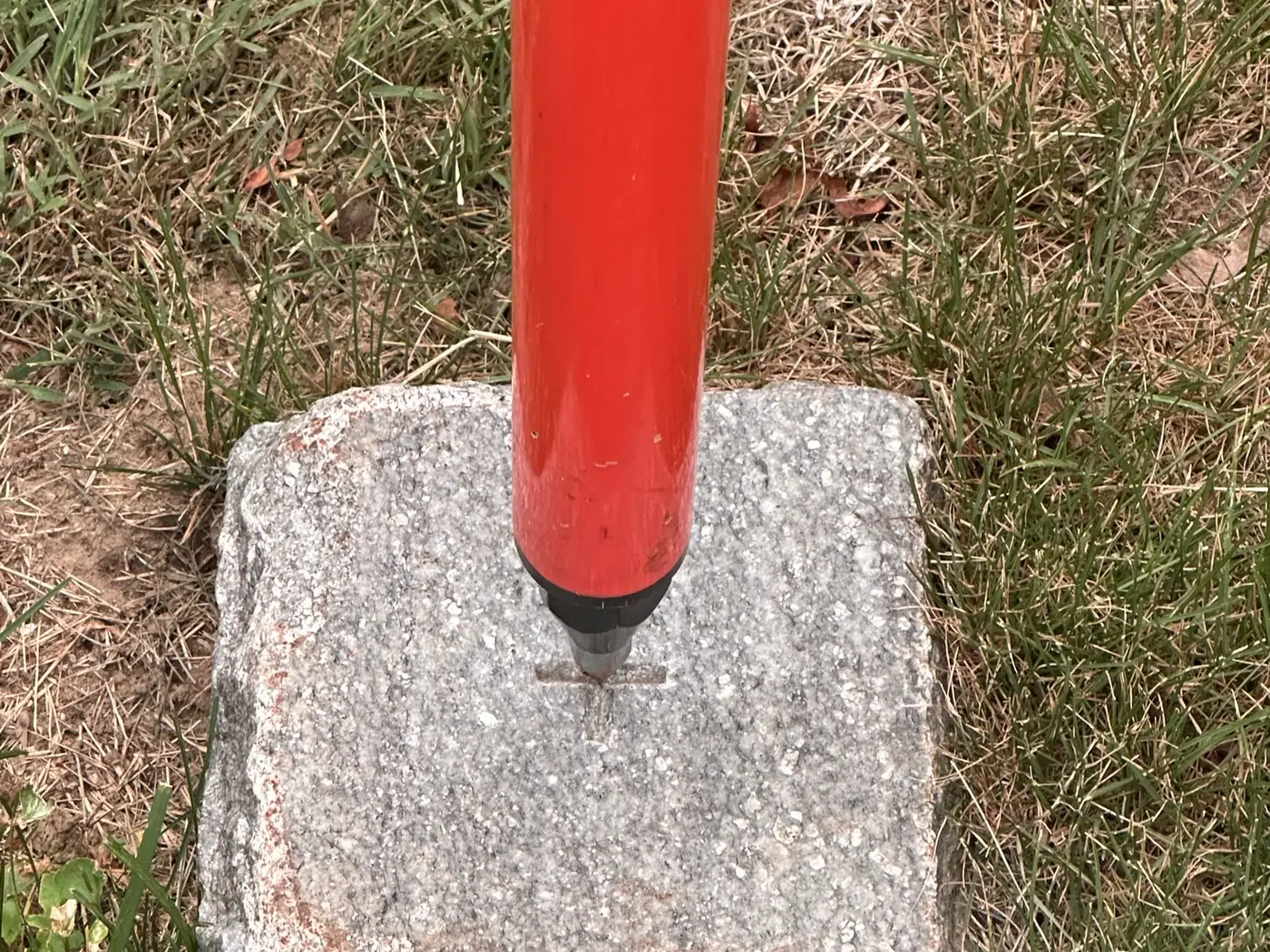
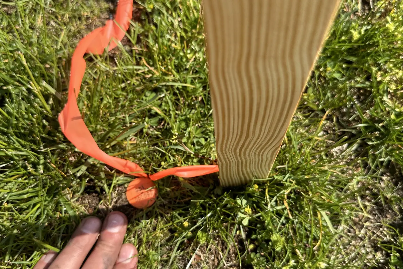
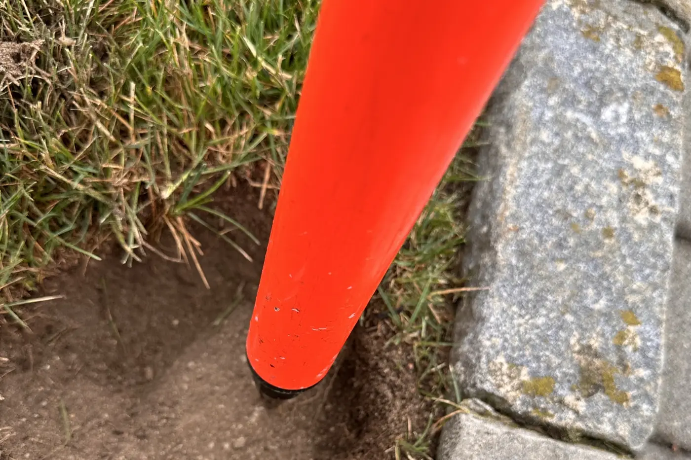
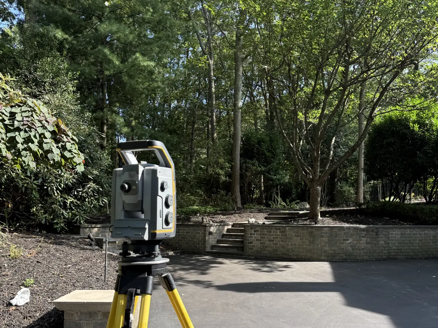
Photographs from our own jobs, not stock images. A survey comes down to small decisions made on the ground: which monument to believe, where a corner truly falls, and how to mark it so the next person can find it.
Service area
Based in Massapequa — where Gerard lives with his family — and working throughout Nassau and Suffolk County, plus Westchester and the surrounding boroughs. If your property is outside the towns listed, ask; coverage is often wider than the list.
Nassau County · Suffolk County · Westchester County · Queens · Brooklyn
About
Gerard Lenze was born and raised on Long Island, and he still lives here — in Massapequa, with his family. The towns on the service-area list are not a marketing radius drawn on a map; they are the neighborhoods he grew up in, drives through every week and knows street by street.
He came up through the field, running survey crews and construction layout long before licensure, which is why the maps are drawn by the same person who has stood on the corners and set the monuments. He founded Lenze Land Surveying, D.P.C. in 2023 to do one thing well: produce accurate, defensible surveys with direct accountability to the client, and he is a member of the New York State Association of Professional Land Surveyors (NYSAPLS).
That local knowledge matters more than it sounds. Long Island records run deep and uneven — filed maps from the subdivision booms, hand-written deed descriptions, stone walls and hedgerows that were treated as lines for a century. Knowing how a particular village keeps its records, and what the surveyors before you tended to do, is often the difference between a clean answer and an argument.
“A property line is not an opinion. It is evidence, measured carefully and documented so it holds up years later.” Gerard D. Lenze, P.L.S. · License 051099
Common questions
Sometimes, but not always. Lenders, title companies and building departments usually want a survey that reflects current conditions, and anything built, removed or fenced since the old map was made is not shown on it. An existing survey is still useful — bring it, and it may reduce the research needed.
For a typical residential lot, expect record research and scheduling first, a field visit of a few hours, then drafting and licensed review. Turnaround depends on how complex the record is and current workload — you will be given a realistic date with your quote, and rush work can often be accommodated.
Fees depend on lot size and shape, the age and clarity of the record, how much of the property is obstructed, and the type of survey required. Every job is quoted in writing up front — call or send the property address and the purpose of the survey and you will get a firm number rather than a range.
Yes. A FEMA elevation certificate documents your building's measured elevations relative to the base flood elevation, which is what an insurer uses to rate the policy. In some cases the certificate supports a Letter of Map Amendment to remove a structure from a mapped flood zone.
Please do. Upload a prior survey, deed, title report or filed map right in the quote form below, or email it to lenzelandsurveying@gmail.com. Even an old or faded copy is useful: it identifies the record description and the monuments a previous surveyor set, which often shortens research and reduces the fee. A phone photo of a paper copy is fine.
A licensed boundary survey is the starting point. Record evidence and physical monuments are researched and measured, and the findings are documented on a sealed map that can be relied on by both parties, their attorneys or a court.
Request a quote
Tell us where the property is and what the survey is for. You will hear back from the licensed surveyor — not a call center — with scope, fee and timing.
If you already have an old survey, deed or title report, send it along. Prior documents often shorten the record research and lower the fee.